Geology category
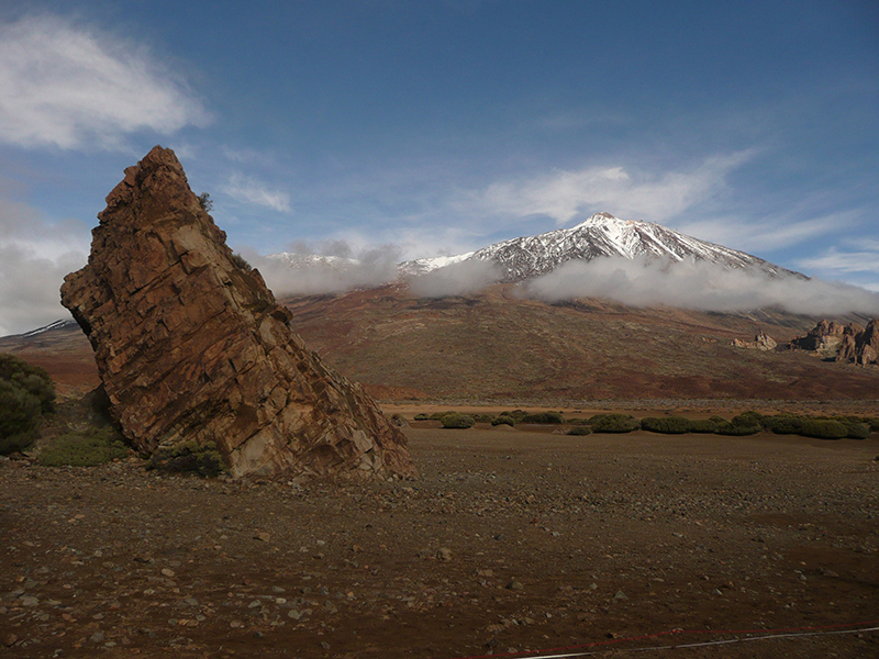
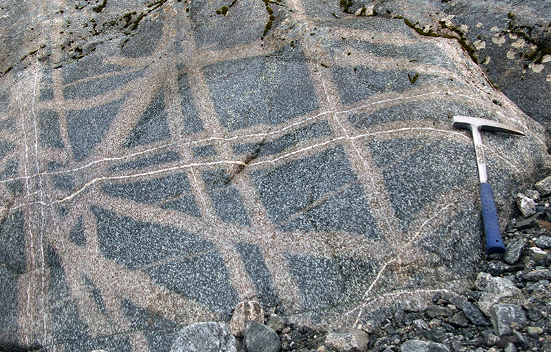
G01 Dykes and lava flows give clues to Mt Teide's eruptive past. Tenerife, Canary Islands
Photographer: Andy Cross
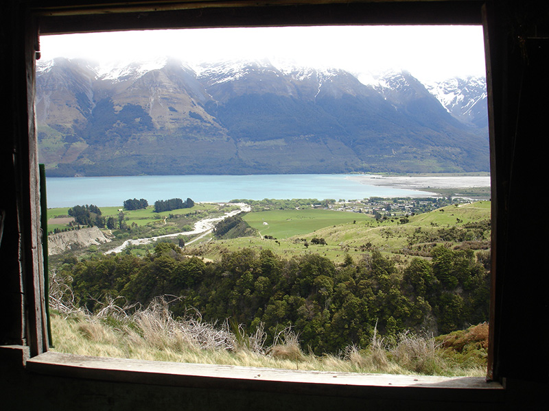
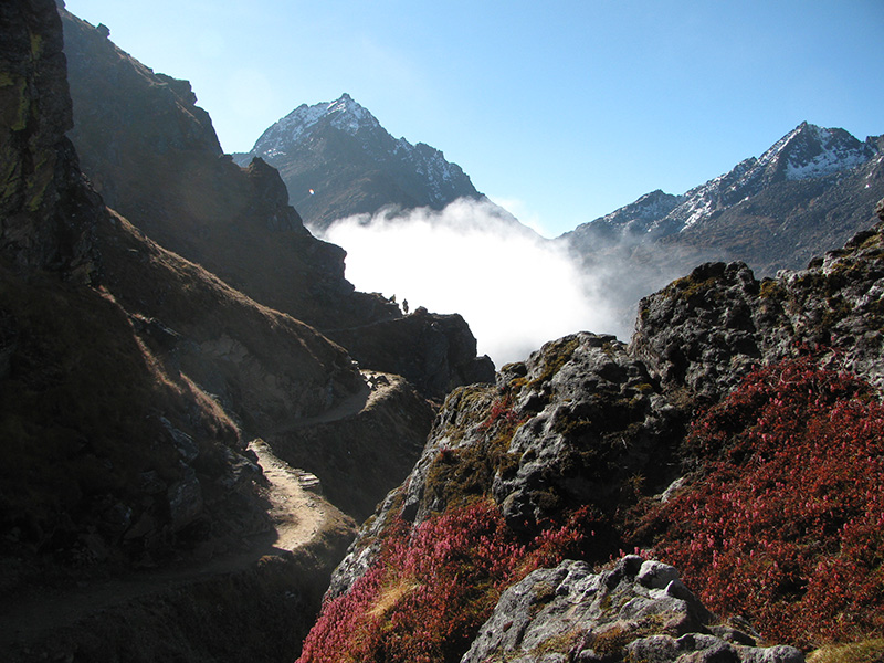
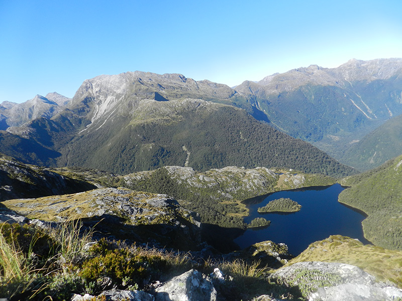
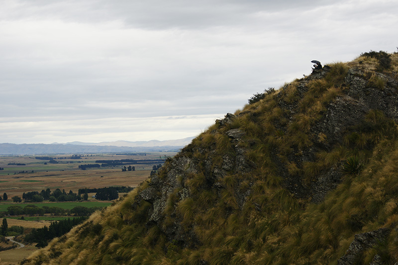
G02 Through miner's eyes. A view on the Humboldt Mountains from an old miners' hut near Glenorchy, NZ
Photographer: Asia Druzbicka
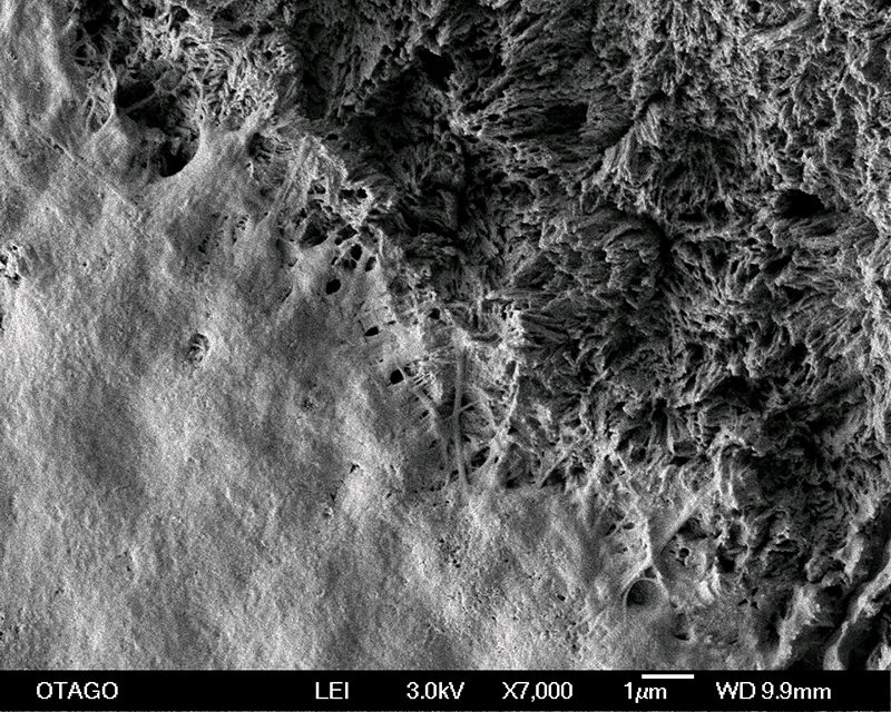
![Acicular needle-like crystals of bloedite [Na2Mg(SO4)2.4H2O] from one of the saline patches in Central Otago](https://www.otago.ac.nz/__data/assets/image/0027/248229/otago073118.jpg.jpg)
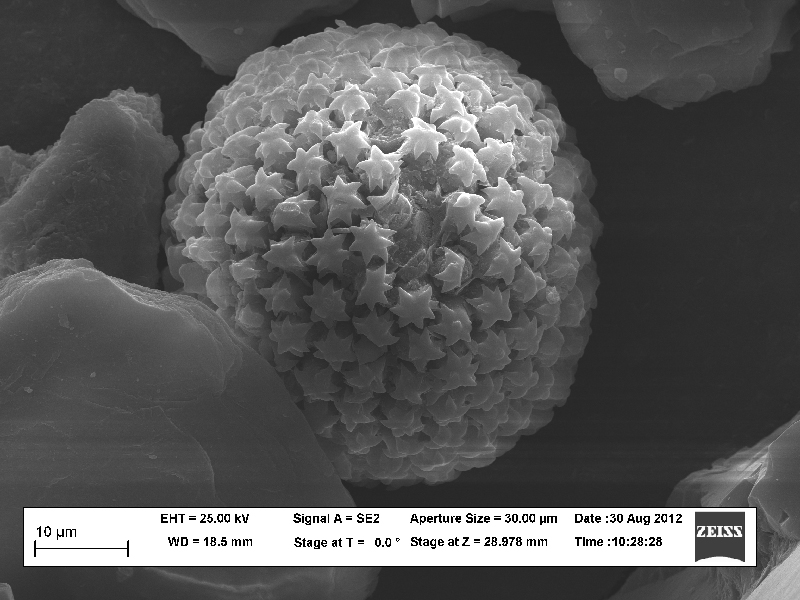
G03 Acicular needle-like crystals of bloedite [Na2Mg(SO4)2.4H2O] from one of the saline patches in Central Otago
Photographer: Asia Druzbicka
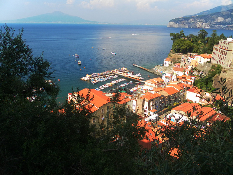
G04 Sleeping Giant! Mt Vesuvius looms over the densely populated and popular tourist destination of the Gulf of Naples
Photographer: Benjamin Moorhouse
G05 Panning for gold at the historic Central Otago mining town of St Bathans!
Photographer: Benjamin Moorhouse
G06 An ornate starry fern spore found in sand from the mouth of the Clutha River
Photographer: Betina Fleming
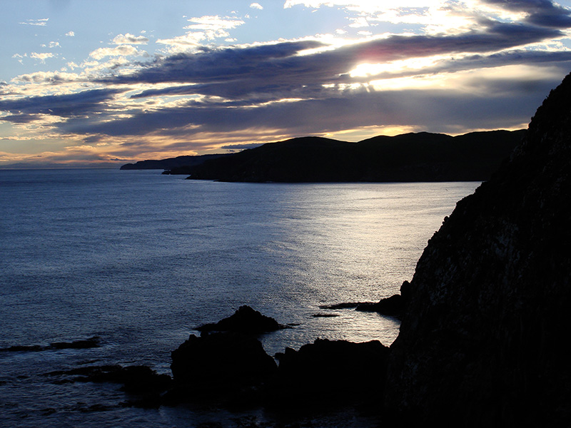
G07 The rugged Catlins coast - islands in the Oligocene?
Photographer: Betina Fleming
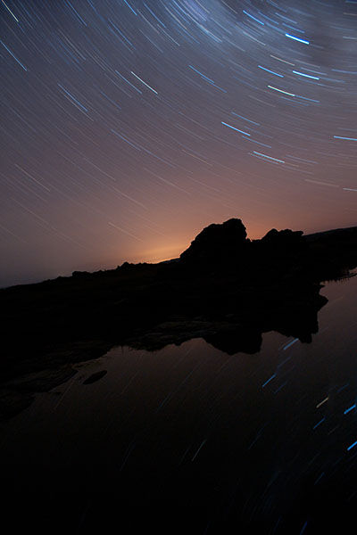
G08 Sutton Salt Lake by night: Looking towards the pink glow of Dunedin's lights. The Southern Cross is visible in the top right and bottom right of the photo
Photographer: Callum Bruce
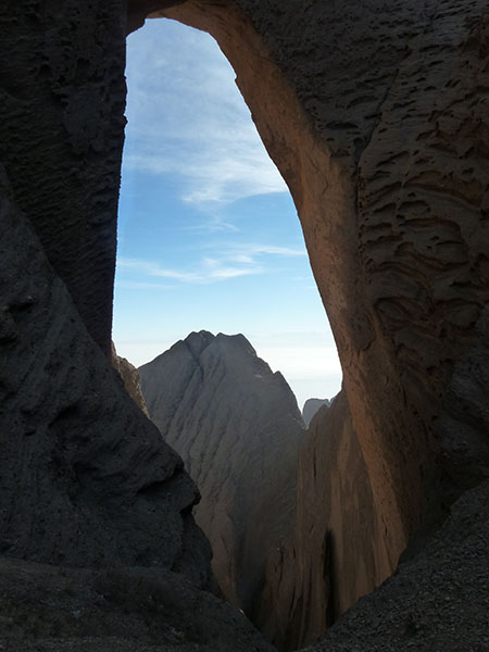
G09 Tushuk Tash, near Kashgar, in western China is a natural arch made of conglomerate. From the floor of the canyon, its height is about 400m
Photographer: Dushan Jugum
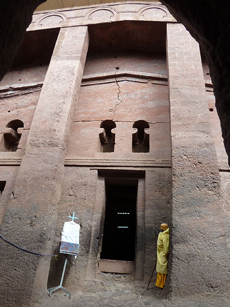
G10 One of eleven 13th century Ethiopian Orthodox churches cut out of basaltic scoria from the East African Rift in Lalibela, Ethiopia
Photographer: Dushan Jugum
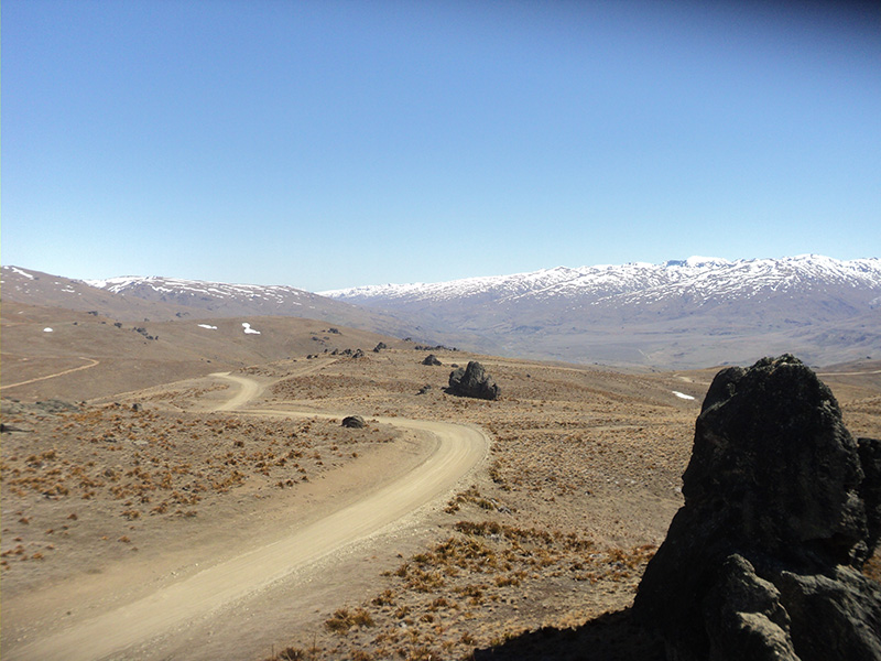
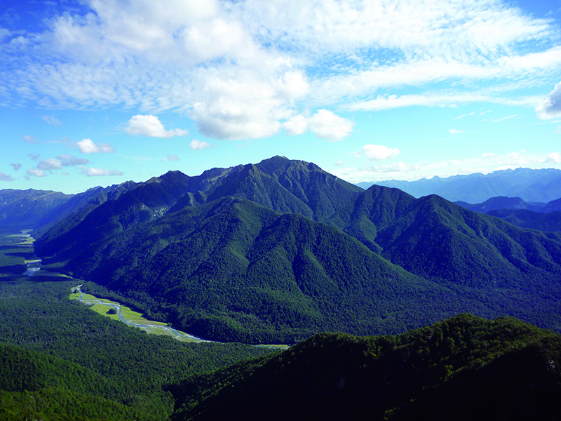
G11 Duffers Saddle looking back into the Nevis Valley. The is cut by the Nevis-Cadrona fault system and was worked during the gold rush
Photographer: Glenda Payne
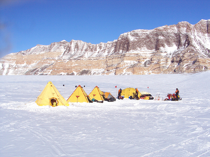
G12 Café Paradiso at Escalade Peak, Antarctica
Photographer: Jacob Anderson
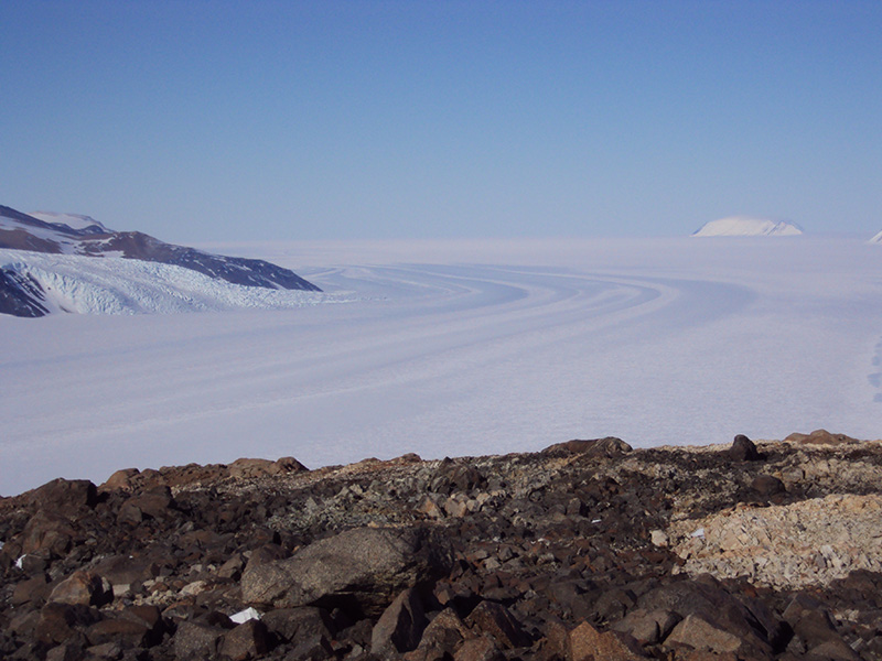
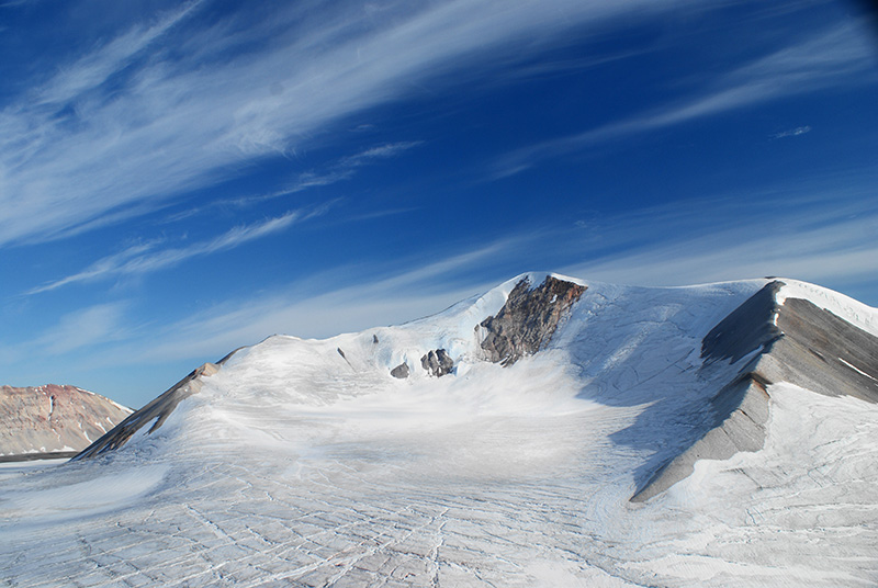
G13 Looking down the Skelton Glacier from Clinker Bluff
Photographer: Jacob Anderson
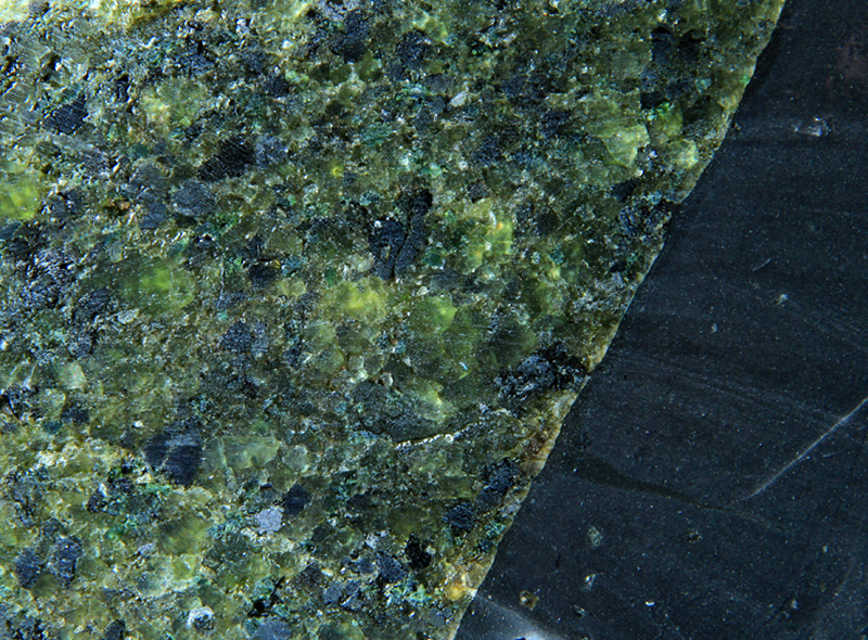
G14 Structurally-controlled melts have pulsed through this diorite in Fiordland dehydrating and converting patches to spectacular pale pink high-P garnet granulite
Photographer: James Scott
G15 This basalt (right) has risen directly from the mantle plucking fragments of spinel peridotite (left) under the Auckland Islands. Image is ~ 5 cm wide
Photographer: James Scott
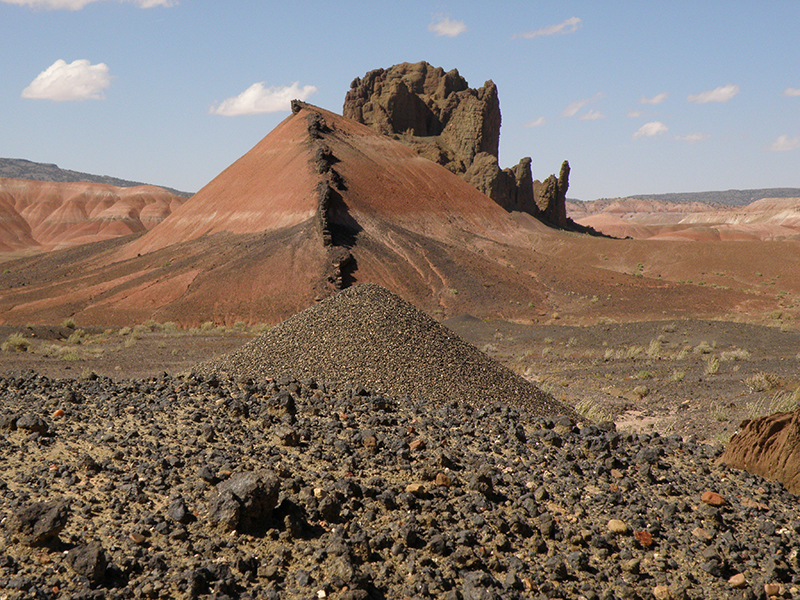
G16 Pyroxene-crystal anthill can't compete with dike and diatreme in Painted Desert country, Hopi Buttes, Arizona, USA
Photographer: James White
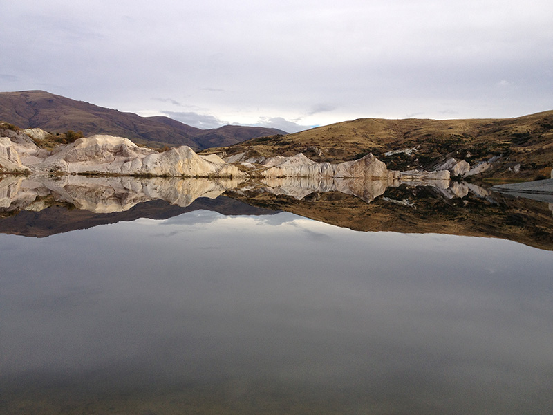
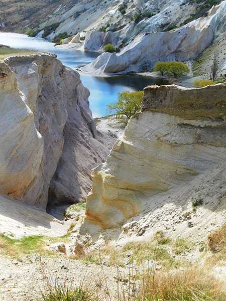
G17 Reflection of west dipping sediments. Blue Lake, St Bathans, Central Otago
Photographer: Jason Grieve
G18 Hyperactive fieldwork in the Dunstan Mountains, March 2012
Photographer: Jason Grieve
G19 Ice covered quartzite peak in NW Greenland, we built a cairn of banded iron formation blocks on the top (carried from a unit at the base) to confuse future geologists!
Photographer: Jess Hillman
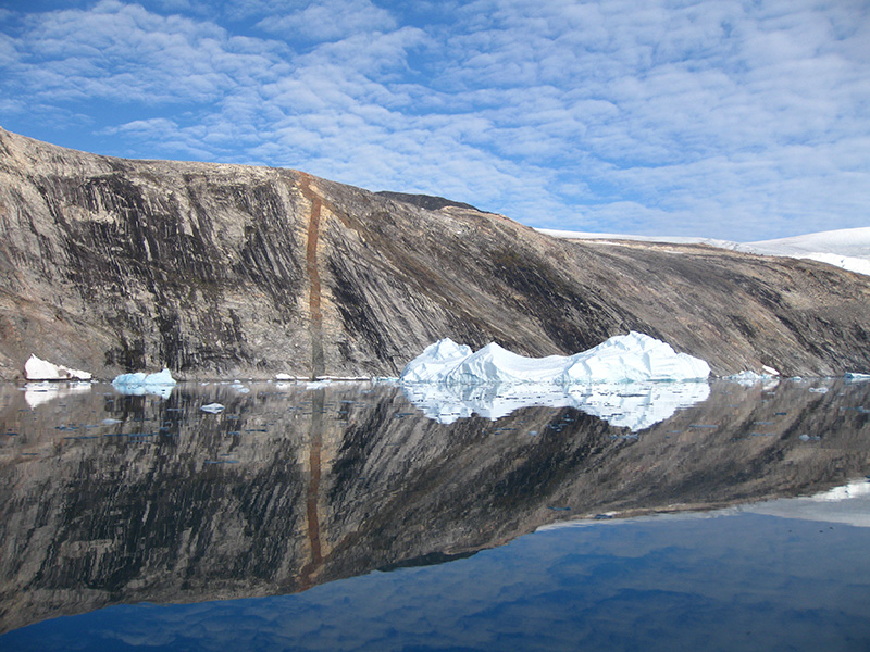
G20 Cliff face reflected in the mirror calm water of De Dødes Fjord, NW Greenland
Photographer: Jess Hillman
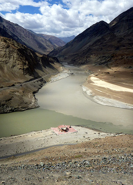
G21 The confluence of the Zanskar and Indus Rivers in Ladakh, India. The Zanskar river looks like milky coffee due to its high sediment load, and it creates mixing eddies as it joins the much clearer Indus coming from the bottom left
Photographer: Jessica Hinojosa
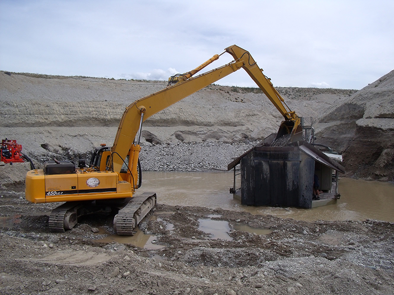
G22 Gold waits for nobody! As the night shift begins, the endless search for gold continues into the cold winter night. Placer gold mine, Galloway, Central Otago
Photographer: Jimmy Stewart
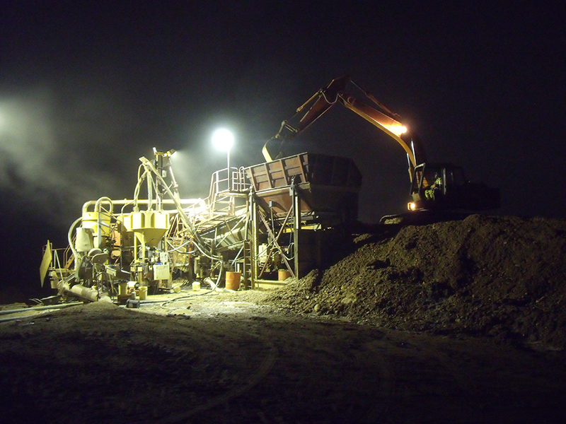
G23 A 45 tonne excavator feeds the Earnscleugh gold plant in the initial stages of the Earnscleugh placer gold project. Earnscleugh Flat, Central Otago
Photographer: Jimmy Stewart
G24 Storm front rolling in over Sutton Salt lake
Photographer: Joe Vincent
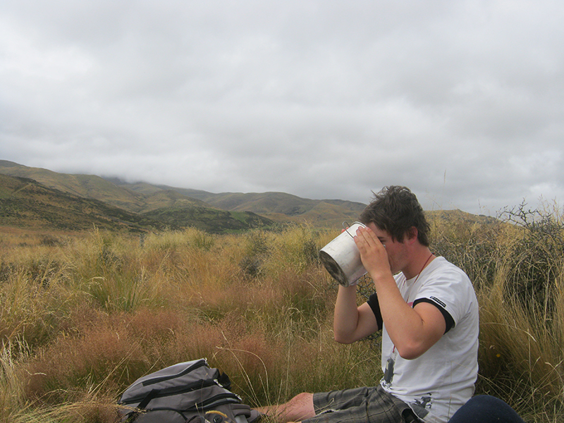
G25 Leighton stopping for a coffee break in the field
Photographer: Joe Vincent
G26 The lone ranger
Photographer: John Williams
G27 Mt. Cann (1693 m) and the mid Glenroy valley, southeast Nelson, with Victoria Range in the background (March, 2011). The Mt. Cann range consists of mid-Cretaceous Separation Point Suite granitoids
Photographer: Matt Sagar
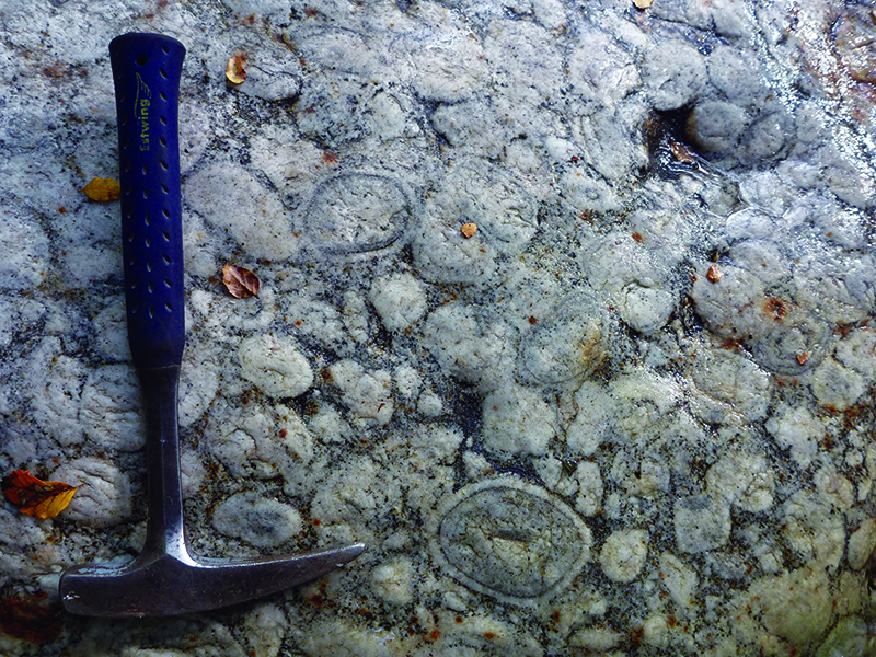
G28 Orbicular granite, Mt. Cann Creek, southeast Nelson (March, 2011). Sponsored by Estwing
Photographer: Matt Sagar
G29 Hakataramea Valley - valley of the fossil whales
Photographer: Moyna Muller
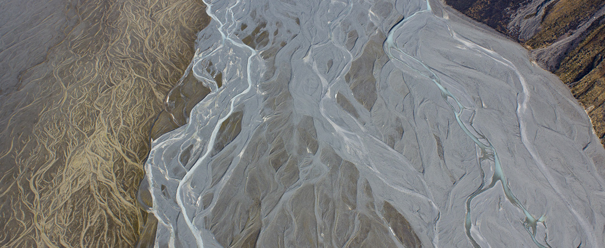
G30 An aerial view of the spectacular braids of the Murchison River near Mt Cook. The river's blue hue is typical of glacially-fed rivers
Photographer: Nic Barth

G31 The first winter snow on an A'a Lava Field on Hekla, once believed to be the gateway to Hell by Europe and now two years overdue for its next eruption
Photographer: Nichole Moerhuis
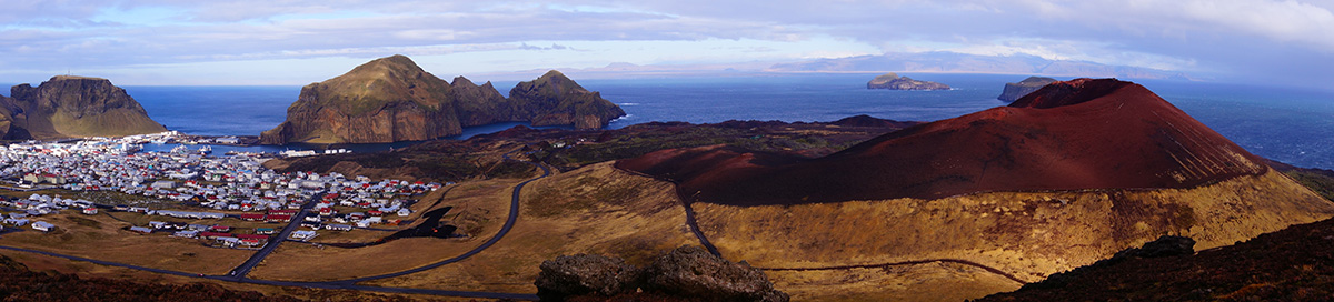
G32 In 1973 a 1.5km long fissure opened up on Heimaey, creating Eldfell cone and a lava flow which covered 360 houses before being stopped by fire hoses
Photographer: Nichole Moerhuis
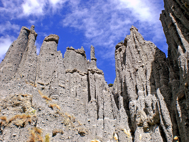
G33 Putangirua Pinnacles, southern Wairarapa coast. Late Miocene conglomerates exhumed and eroded during late Quaternary uplift. Site of the \"Paths of the Dead\" in \"Lord of the Rings\"
Photographer: Richard Norris
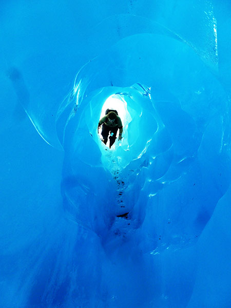
G34 Hiking through a meltwater cave, created the previous night during heavy rainfall, inside the temperate Franz Josef Glacier; Fiordland, New Zealand
Photographer: Robin Andrews
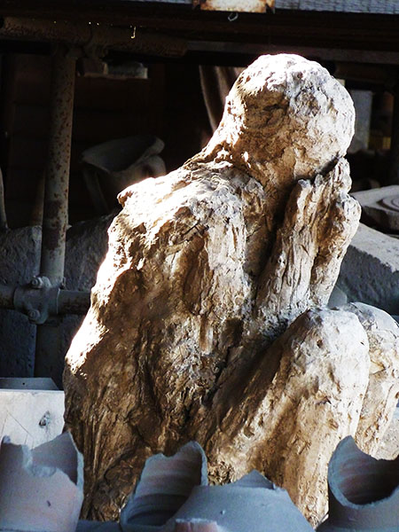
G35 A man frozen in time by the pyroclastic flows that devastated Pompeii and Herculaneum in AD 79; Campania, Italy
Photographer: Robin Andrews
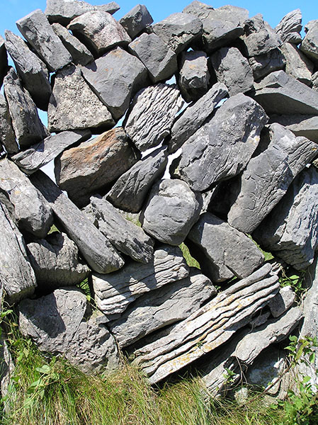
G36 Architecture of an Irish stone wall, Aran Island, Galway
Photographer: Alan Cooper
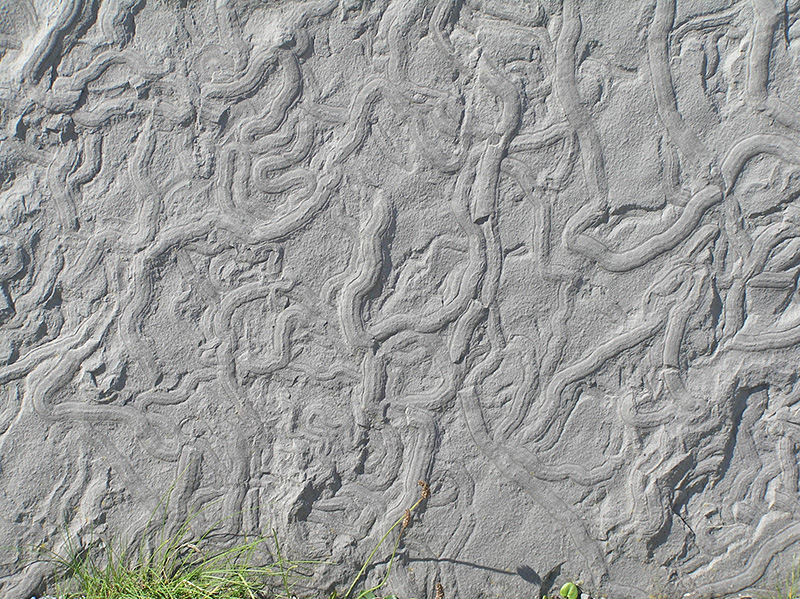
G37 Trace fossils in the Liscannor slate, Cliffs of Moher, Galway
Photographer: Alan Cooper
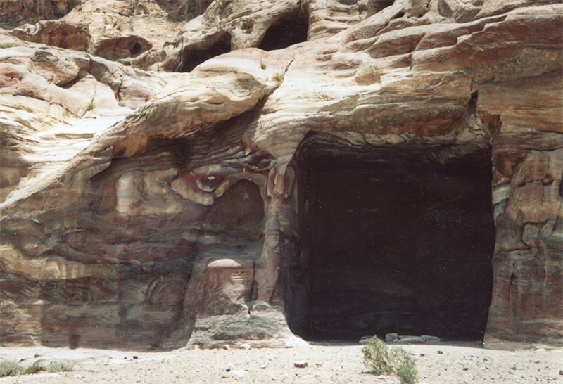
G38 \"Eyeocene\" sandstone at Petra, Jordan
Photographer: Chris McLachlan
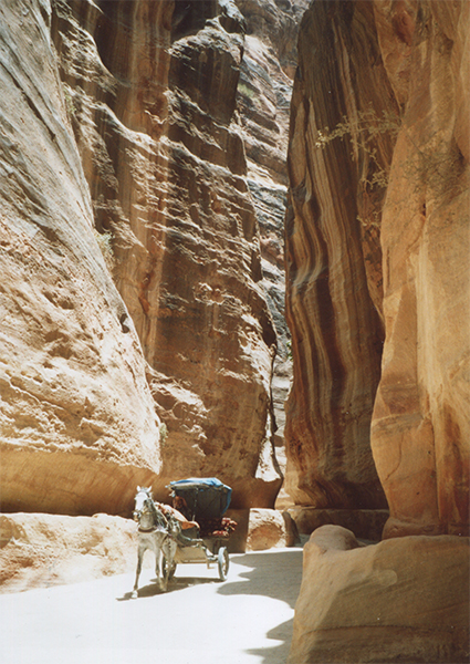
G39 Ridin' with the locals, Petra, Jordan
Photographer: Chris McLachlan
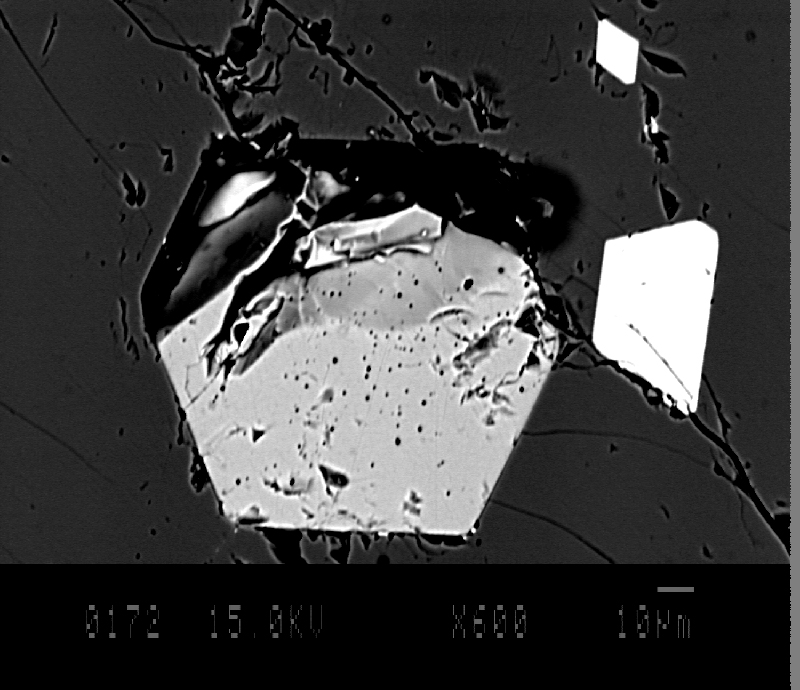
G40 Feeling hungry? This might quench your apatite. Electron backscatter image of a euhedral apatite grain in Cr-diopside. The apatite contains minute fluid inclusions and has two spinel grains on its right
Photographer: Alice Hodgkinson
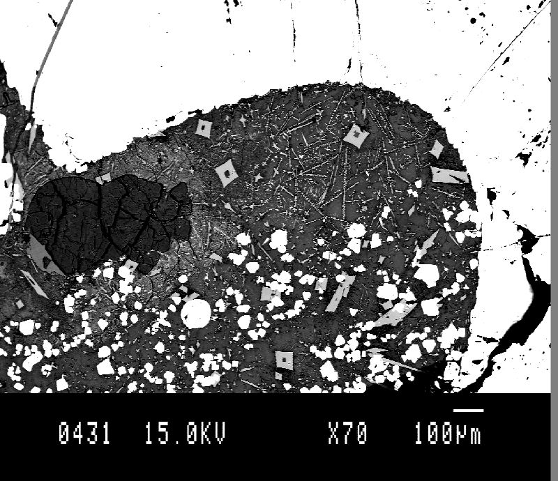
G41 Electron backscatter image of a spinel xenocryst infiltrated by magma causing recrystallisation of clinopyroxene, spinel and glass
Photographer: Alice Hodgkinson
G42 In the search for ancient whales in the desert. Trelew, Patagonia Argentina
Photographer: Carolina Loch Silva
G43 The interface between dentine and hydroxyapatite crystallites in the enamel of common dolphin tooth
Photographer: Carolina Loch Silva
G44 Looking over Mt Donald into the Large Burn Wapiti block from the Mary Peaks
Photographer: Jesse Loughnan
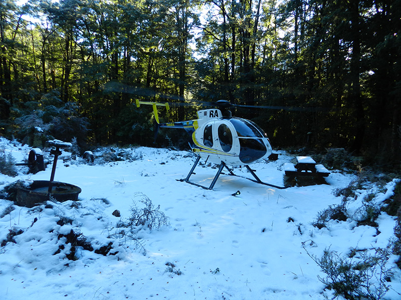
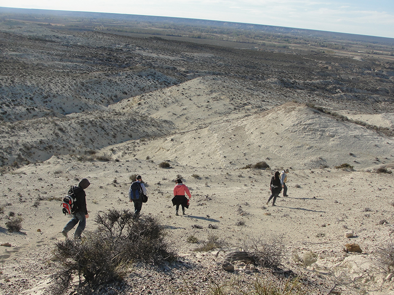
G45 Entering the 302 field area via helicopter on a cold snowy morning near Reefton
Photographer: Jesse Loughnan
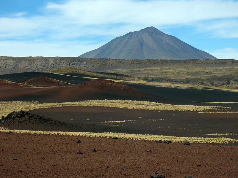
G46 Stratovolcan Payún Liso (3824m) located in the 4500m2 Payunia Provincial Reserve; part of The Payún Matrú Volcanic Field, the largest Quaternary basaltic province present in the Andes back-arc of S-America
Photographer: Simone Hicks
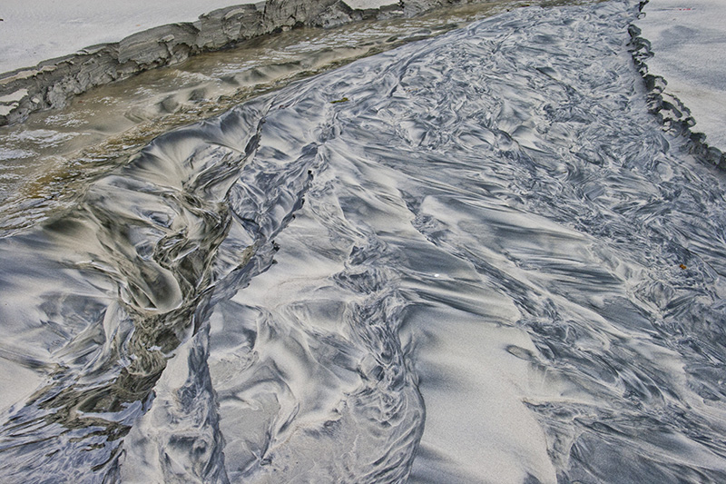
G47 Erosion at work! Artful patterns in beach sand created by a fresh water stream cutting a channel into the sand and forming meandering stream patterns running seawards
Photographer: Simone Hicks
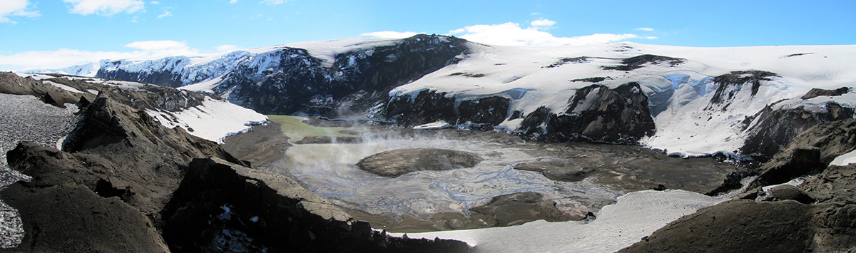
G48 Crater formed during the 2011 Grímsvötn eruption along the northern margin of the Grímsvötn caldera, Vatnajökull, Iceland
Photographer: Carolyn Gorny
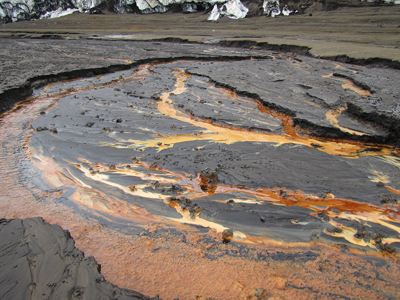
G49 Active dewatering along the 2011 Grímsvötn eruption crater margins coupled with weak geothermal activity gives rise to a myriad of orange hues as tephra undergoes palagonitization and clay alteration, Vatnajökull, Iceland.
Photographer: Carolyn Gorny
Comedy category
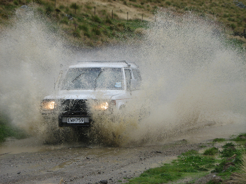
C01 Swinburn in the rain: Civilised 300 level mapping in the rain at Swinburn, Maniototo
Photographer: Callum Bruce
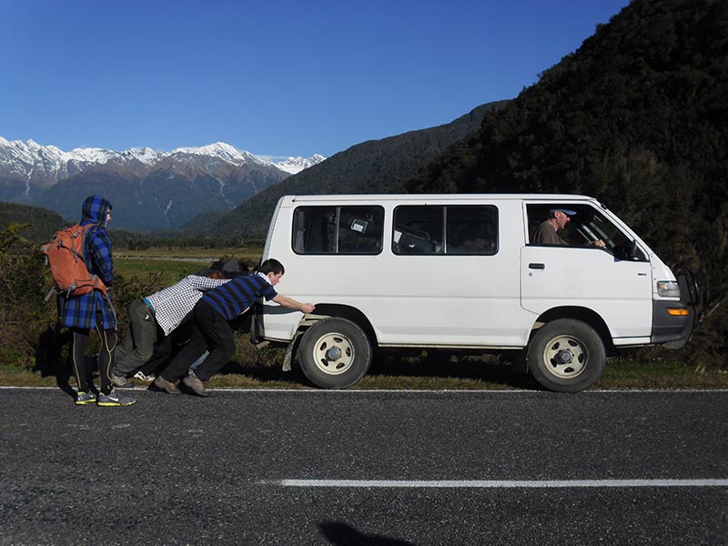
C02 Yet another break down of one of the geology department vans, during the Whataroa geophysics field school. Southern Alps in the background
Photographer: Glenda Payne
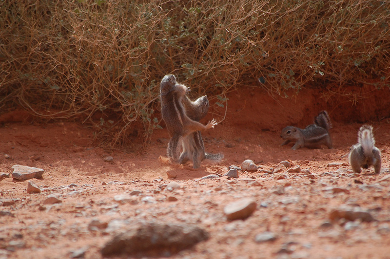
C03 Two chipmunks battle for bread during a lunch break on a field trip to the Valley of Fire State Park in Nevada
Photographer: Jessica Hinojosa
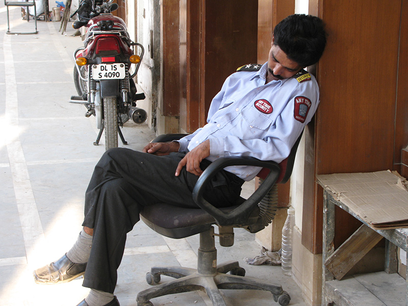
C04 24 hour vigilance
Photographer: John Williams
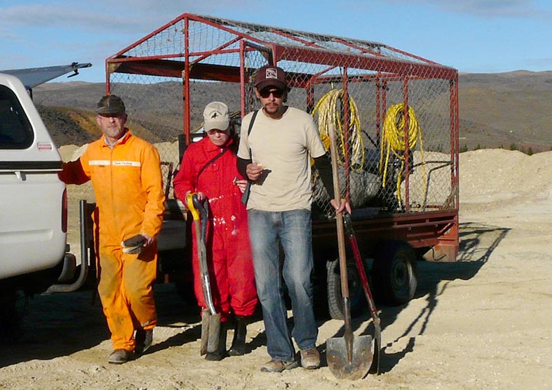
C05 Whale Hunters - geology style
Photographer: Moyna Muller
Illustration category
Note: Photos are for non-commercial use only. Please acknowledge photographer