Introduction
Cabinet 1
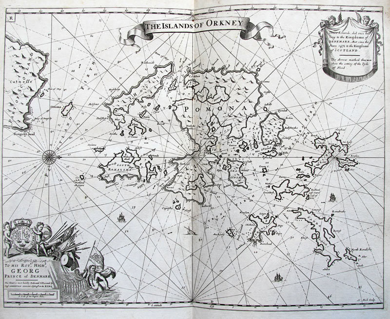
Originally under Norse control, the Orkneys were relinquished to the Scottish Crown in 1472.
This detailed map of ‘The Islands of Orkney’ is one of 48 harbour and coastal charts that was the result of the first systematic survey of British coastal waters.
In 1681, Samuel Pepys assigned Captain Greenville Collins to undertake the survey with measuring chain, a compass and a lead-line. It took Collins eight years to complete and was published to great acclaim in 1693.
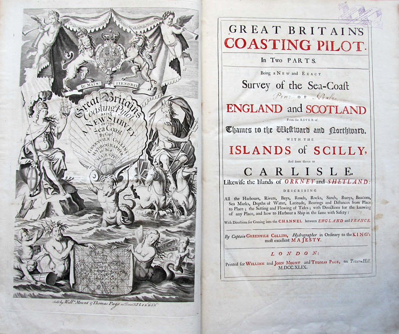
Great Britain’s Coasting Pilot remains a landmark production in British Hydrography. The Orkney Isles contain some of the oldest and best-preserved Neolithic sites in Europe, and as such has been designated a UNESCO World Heritage site.
Greenville Collins, Great Britain’s Coasting Pilot. London: Printed for William and John Mount and Thomas Page, 1749.