Tuesday 28 May 2019 12:16pm
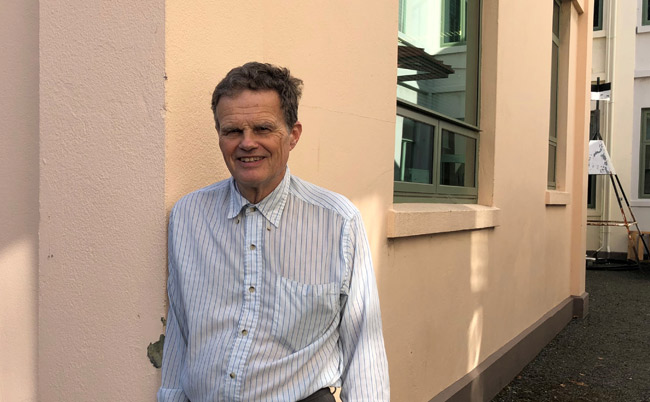
Dr Chris Pearson, Honorary Senior Fellow of the School of Surveying.
Tomorrow, 29 May, marks the date when the late Sir Ed Hillary and Nepalese Sherpa Tenzing Norgay reached the summit of Mount Everest in 1953.
This year’s event in Kathmandu will also include marking the centenary since Sir Hillary’s birth in 1919, and will be attended by the Rt Hon Helen Clark as patron of the Himalayan Trust.
Geodesist Dr Pearson has led New Zealand’s involvement in surveying projects in Nepal since the 2015 earthquakes.
"As New Zealand is so seismically active we have developed a lot of knowledge and technological expertise such as developing semi-dynamic datum models that allow for the fact everything is constantly moving."
More recently he has taken the lead role overviewing the Everest Project, to remeasure and update the height of Mount Everest from the previous survey which set the summit’s altitude as 8848m.
The 2015 earthquakes caused massive horizontal and vertical ground displacement across the land locked country, resulting in significant inaccuracies in coordinates and geodetic databases.
Dr Pearson subsequently led a survey mapping project that developed an alternative datum taking into account ongoing deformation associated with the country’s position on the plate boundary between India and Asia.
“As New Zealand is so seismically active we have developed a lot of knowledge and technological expertise such as developing semi-dynamic datum models that allow for the fact everything is constantly moving,” Dr Pearson says.
An outcome of this project was an opportunity to remeasure the height of Mount Everest, and which Dr Chris Pearson was invited to assist with.
Dr Pearson led the New Zealand Ministry of Foreign Affairs and Trade Head of Mission Fund project and spent five weeks in Nepal last year providing technical expertise and training Nepal’s Survey Department to undertake the work.
“India just completed a massive survey levelling programme that provided an accurate levelling point on the border, and from there benchmark points have been set up right through to points that are within ‘line of sight’ of Everest’s summit,” Dr Pearson explains.
"Kiwis have had a long association with Nepal and to continue contributing to the development of the country including remeasuring the mountain that Sir Ed first climbed in 1953 is immensely gratifying."
Additional complications associated with gravity also need to be taken into consideration when conducting survey work in that part of the world he says.
“Nepal has an extreme geoid undulation which is unique on the planet, and is the result of something really heavy under India on one side of Nepal and the extraordinary light Tibetan Plateau on the other,” Dr Pearson says.
“We don’t know exactly why this is, but the levelling network and models have to be adjusted to take this big variation across the country into account.”
The new height of Mount Everest will not be known by tomorrow, however the Everest Project is nearing completion and Dr Pearson will brief Rt Hon Helen Clarke on New Zealand’s role which has also involved Land Information New Zealand (LINZ), and Trimble New Zealand.
Dr Pearson says he’s enjoyed transferring his knowledge and expertise to local surveyors through the Everest Project in which Nepal’s Survey Department is taking the lead role for the first time to remeasure Everest.
“Kiwis have had a long association with Nepal and to continue contributing to the development of the country including remeasuring the mountain that Sir Ed first climbed in 1953 is immensely gratifying.”