Wednesday 9 December 2020 9:51am
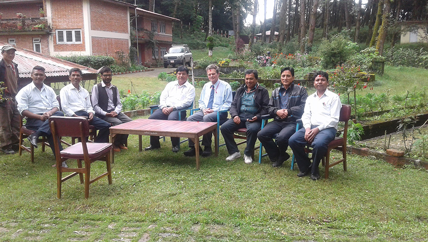
Dr Chris Pearson with surveyors from Nepal’s Department of Survey.
A new accurate height of Mount Everest has been announced to the world and a University of Otago academic has been instrumental in supporting the Nepalese surveyors achieve that ambition.
Geodesist Dr Chris Pearson of Otago’s School of Surveying led New Zealand’s MFAT Head of Mission Fund project by providing technical expertise and training to Nepal’s Department of Survey to undertake the work themselves.
“As Mount Everest holds immense national pride for the Nepalese, it has been immensely gratifying to support local surveyors reach this goal themselves and also contribute to the development of the country,” Dr Pearson says.
The new height of 8,848.86m has been announced in a joint statement by Nepal and China, marking a small increase from the commonly referenced height of 8,848m that was established by the Survey of India in 1954, the year after the late Sir Ed Hillary summited the world’s highest peak.
Dr Pearson says that due to tectonic activity such as the significant 2015 Gorkha Earthquake, the height of Everest is constantly changing and using the latest technologies allowed the new accurate measurements to be made.
He has led New Zealand’s involvement in surveying projects in Nepal since the 2015 earthquakes which caused massive horizontal and vertical ground displacement across the land-locked country, resulting in significant inaccuracies in coordinates and geodetic databases.
“As New Zealand is so seismically active, we have developed specialist surveying knowledge and technological expertise such as developing semi-dynamic datum models that allow for the fact everything is constantly moving.”
New Zealand’s role also involved Land Information New Zealand (LINZ), and New Zealand company Trimble who donated equipment including GPS receivers, other advanced surveying technology and software. One of these GPS receivers was installed at the summit of Everest to determine its final height.
“New Zealand’s surveying expertise has really been harnessed for benefit of the Everest Project as we have been able to apply our latest knowledge from Otago’s National School of Surveying with specialist technologies developed by Trimble,” Dr Pearson says.
Following his involvement in a Nepalese mapping project after the 2015 earthquakes, Dr Pearson was invited to assist with the Mount Everest project which involved time in Nepal and technical assistance from New Zealand.
Dr Pearson says a complication of determining the height of Everest is the summit is an ice cap that can change due to seasonal accumulation and melting, and therefore measurement of the height of the rock below this cap is important.
He also explains additional challenges associated with gravity need to be accounted for when conducting survey work in the area of the Himalayas.
“Nepal has an extreme geoid undulation that is unique on the planet, and is the result of something really heavy under India on one side of Nepal and the extraordinary light Tibetan Plateau on the other,” Dr Pearson says. “We don’t know exactly why this is, but the levelling network and models have to be adjusted to take this big variation across the country into account.”
“The new measurement is by far the most accurate sea-level height for Sagarmatha due to the levels of technology used, and the new models will also make it easier to measure the exact heights of other mountains in Nepal using modern GPS techniques.”
The New Zealand Ambassador-designate to Nepal, Mr David Pine, says it was a delight to financially support this partnership between the Government of Nepal and the University of Otago.
“New Zealand and Nepal have enduring connections – not least because Mount Everest was first climbed by the Nepali Tenzing Norgay Sherpa and the New Zealander Sir Edmund Hillary,” Mr Pine says.
“Sir Edmund maintained strong links to Nepal for the rest of his life and went on to serve as New Zealand’s Ambassador to Nepal. Our support for this project honours his and Tenzing Norgay Sherpa’s legacy, as well as underlining the warmth of contemporary New Zealand-Nepal relations.”
For more information, contact:
Dr Chris Pearson
Honorary Senior Fellow of the School of Surveying
University of Otago
Email chris.pearson@otago.ac.nz
Guy Frederick
Communications Adviser (Sciences)
Mob +64 21 279 7688
Email guy.frederick@otago.ac.nz