Welcome
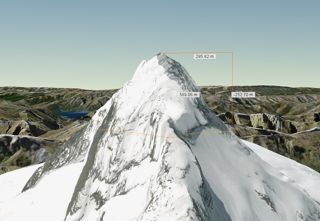
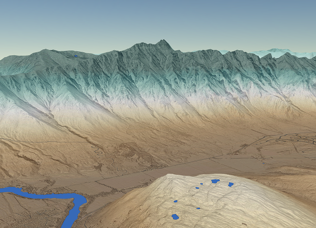 Students and staff throughout Otago University are using GIScience to answer interesting questions about the world.
We are carving out time to learn about the various ways Otago researchers are using GIS. It is an opportunity to meet each other, practice presentation skills in a collegial environment and showcase interesting research from across a range of disciplines.
We have an exciting lineup of speakers and activities. You can find details below.
The Details
WHAT - University of Otago GIS Symposium: Presentations, networking, socialising on Thursday, spatial data workshop and mapathon Friday, hosted by the School of Surveying and the University Library. This event is open to all University of Otago staff and students.
WHEN - July 4 - 5, 2019
WHERE - Central Library and School of Surveying, Dunedin Campus
COST - Free for Otago students and staff
QUESTIONS - Email Aubrey Miller: aubrey.miller@otago.ac.nz
Further information about the symposium can be found by scrolling down the page or clicking the links below.
Registration
We want to hear from you! Submit a short abstract (max 200 words) for a 10 - 15 minute presentation on your research. How are you using GIS to answer your research questions? How are you analysing spatial data? Tell us about an interesting map you have made to support your research. We are especially interested in hearing from postgraduates.
The deadline for abstract submissions is now closed.
Registration for the symposium is open. To register, please use the form below. If you are having issues with the form you can click HERE to open it in a new window. To learn more about what the spatial data workshop is all about, check out this flyer. Details on the mapathon will follow shortly.
Schedule
The Symposium will be all day Thursday July 4th (9am-3:45pm). Friday July 5th will have a mapathon in the morning (9-12pm) followed by a spatial data workshop in the afternoon (1-4pm).
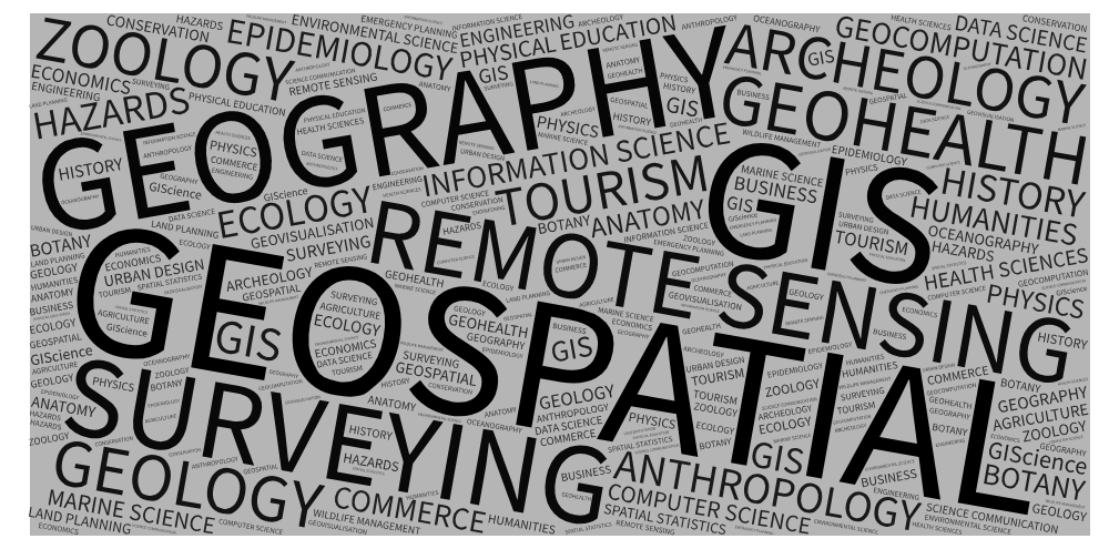
For Thursday, we have an exciting lineup of 17 speakers from across Otago covering four main themes: Environmental Applications: Ecology and Atmosphere, Environmental Applications: Cryosphere, Human Applications, and Developments in Geospatial Methods.
FINAL AGENDA FOR SYMPOSIUM PRESENTATIONS CAN BE FOUND HERE. Please have a look to make sure you know when you are slated to speak.
On Friday, the mapathon will be your opportunity to put your spatial skills to good use.
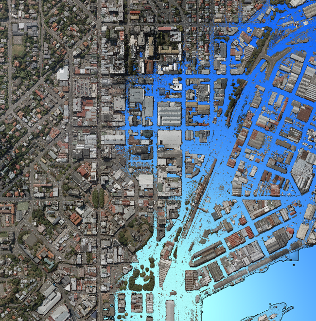
Here is some context for the mapathon: In crisis situations, humanitarian organizations provide relief to people in need and organize aid for those who require it. However, in catastrophes such as earthquakes and severe floods, the terrain in the area affected can be drastically different and sometimes impassible, becoming a significant obstacle for aide workers. To help with this problem, OpenStreetMap, partnered with imagery providers, harnesses the network of online users to provide quick, updated maps to facilitate emergency response. In this workshop, first-time and experienced users will learn tips and tricks to OSM and tasking managers such as HOTOSM, and complete to see who can provide the most updates to the task area. Attendees will also learn how to access the created data, for mapping programs like QGIS and ArcGIS.
We will be offering a spatial data workshop on Friday where experts will be on-hand to talk about your research/project. This is an informal one-on-one chat to help get participants to ask the right questions of their spatial data. Past workshop participants found the experience particularly useful for study design, data needs and sources, and questions about software use.
Venue
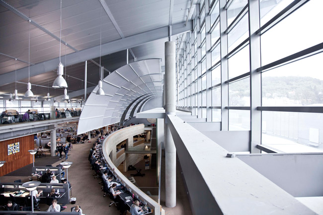 Otago University Library will host the Symposium in the Central Libraryin Seminar Room 6 on the first floor. You can find the rooms on this map.
The School of Surveying will host the mapathon and spatial data workshop on Friday. These will be held in the Spatial Lab (Room G13). The School of Surveying is at 310 Castle Street, just south of the main Dunedin Campus.
Maps
Where is the library?
Where is the School of Surveying?
Enquiries
If you have any enquiries or wish to receive further information, please contact one of the co-convenors Aubrey Miller (aubrey.miller@otago.ac.nz) or Todd Redpath (todd.redpath@otago.ac.nz).
^