In this project the terrestrial and altimetry-derived marine gravity data (combined the state-of-art satellite gravity model) are used to determine a new regional gravimetric geoid/quasigeoid model for New Zealand.
The combination of the gravity and GPS-levelling data is done by applying the corrector surface which optimally approximates the systematic discrepancies between the gravimetric and geometric solutions.
A new leveling dataset was prepared based on the joint adjustment of precise leveling networks attributed to several local vertical datums. The least-squares adjustment was realized individually for the leveling networks at the South and North Islands of New Zealand.
 Method and Data
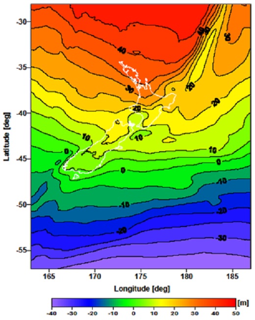
Data sets: GNS Science terrestrial gravity database, DNSC08 marine gravity database, EIGEN-GRACE02S global gravity model.
Method: The remove-compute-restore numerical scheme and using the discretized integral equations approach.
Selected Publications and Outcomes
Tenzer R, Vatrt V, Abdalla A, Dayoub N (2011) Assessment of the LVD offsets for the normal-orthometric heights and different permanent tide systems. Applied Geomatics 3(1): 1-8; doi: 10.1007/s12518-010-0035-8.
Abdalla A, Tenzer R (2011) The evaluation of the New Zealand's geoid model using the KTH method. Geodesy and Cartography 37(1): 5-14; doi:10.3846/13921541.2011.55832.
Tenzer R, Vatrt V, Luzi G, Abdalla A, Dayoub N (2011) Combined approach for the unification of levelling networks in New Zealand. Journal of Geodetic Sciences 1(4): 324-332; doi: 10.2478/v10156-011-0012-.
Tenzer R, Novák P, Vajda P, Ellmann A, Abdalla A (2011) Far-zone gravity field contributions corrected for the effect of topography by means of Molodensky's truncation coefficients. Studia Geophysica et Geodaetica 55: 55-71; doi: 10.1007/s11200-011-0004-7.