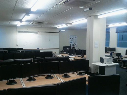
 The Spatial Software Laboratory (formerly the Spatial Lab) is the Geographic Information System (GIS), Remote Sensing and Hydrographic Surveying facility in the School of Surveying.
Hardware
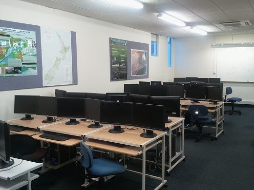 The Spatial Software Laboratory is equipped with high performance hardware, including:
- 32 computers, all with dual screens, i7 processors and 32GB RAM, discrete graphics, high-speed data connection
- Data projector
- Three scanners, including a high resolution (2800 dpi optical) A3 scanner and a 40 inch large format scanner.
Software
The Spatial Software Laboratory has licenses for many leading software packages, including, but not limited to:
- ESRI ArcGIS Desktop / Pro
- ERDAS Imagine / Stereo Analyst
- Agisoft
- Caris – HIPS & SIPS
- QPS Hydrographic Surveying
- 12D Model
- BricsCAD
- Autodesk
- Landonline
- Open-source spatial software (e.g. QGIS, GDAL)
- Matlab
- Standard Desktop Productivity Tools
Access and rules
Students enrolled in 200 level and above Surveying papers have 24 hour seven day access to the relevant lab(s). After-hours access to the computer labs is by swipe card (student ID cards).
The use of this facility is subject to rules. Please check out the School of Surveying Lab Rules.
Contact
The Spatial Software Laboratory is managed and maintained by the School of Surveying. For any enquiry, please contact:
Aubrey Miller
Room 118, 310 Castle Street
Ph +64 3 479 7606
aubrey.miller@otago.ac.nz