The estuary is that of the River Dee, as seen from the Royal Liverpool Links, Hoylake, looking towards the Clwydian Mountains of northern Wales. The antediluvian forest and the windmill like a black flower intimate Atlantis, Don Quixote and betrayal.
The island mentioned is Hilbre, accessible only at low tide. (See below.) At Leasowe, a little further round the coast to the north, there is a tower that perhaps looks like a windmill and offshore, a sunken petrified forest (no longer visible).
Above: the estuary of the River Dee, seen from the Royal Liverpool Links.
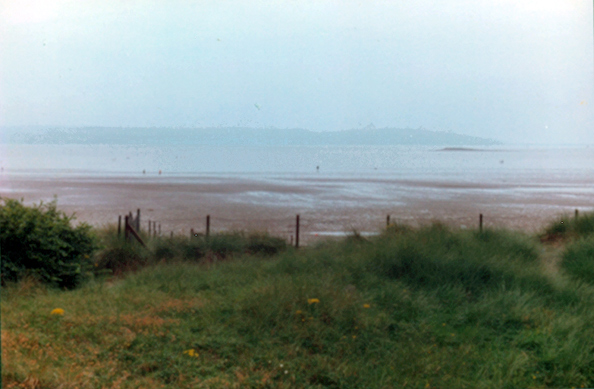
Below: The Dee estuary, as seen from West Kirby, a mile or two north of Hoylake.
There was an island in the estuary, with a windmill on it like a curious black flower, which you could ride out to at low tide on a donkey.... Or best of all they would sail on the marine lake in a borrowed twelve-foot yacht managed expertly by Geoffrey. – UTV, 23.
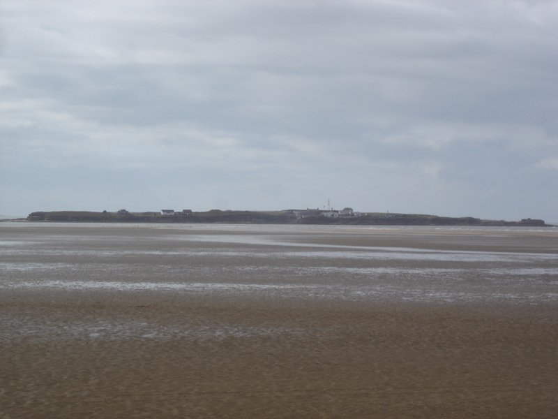
Above: Hilbre island.
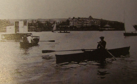
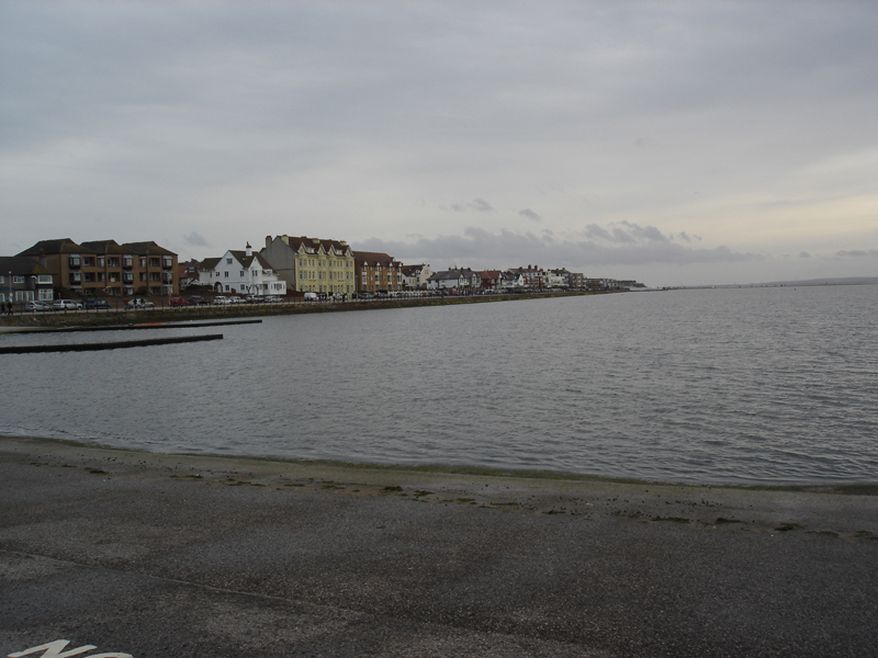
Pictured above and below, the articifial marine lake. Above image source: Malcolm Lowry: From Mersey to the World, eds Bryan Biggs & Helen Tookey, Liverpool: L.U.P., 2009.
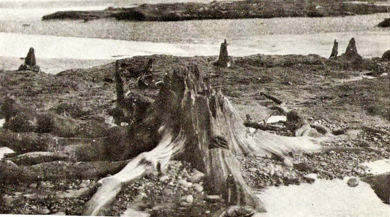
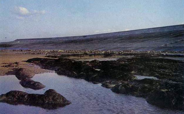
Above: The petrified forest. Image courtesy Colin Dilnot.
Below: The petrified forest, partially submerged, in 1982. The forest is now entirely submerged. Image courtesy wirralhistory.co.uk / wikiwirral.co.uk.