Introduction
Cabinet 1
Bound by the North Channel and Irish Sea, the North Sea, the Atlantic Ocean, and a 96 mile border with England running from the basin of the River Tweed (east) to the Solway Firth (west) is Scotland, otherwise known as Alba (Scottish Gaelic), Caledonia, or, to many world-wide, ‘Home’.
Scotland also includes some 790 islands, including the North Isles (Shetland and Orkney) and Hebrides. The total area of Scotland is 30,414 square miles, with its geographical centre lying a few miles from the village of Newtonmore in Badenoch. Its coastline is 11,550 miles (almost the distance from Scotland to New Zealand). Ben Nevis is the highest mountain at 4,409 feet, and the River Tay is the longest river, flowing some 118 miles.
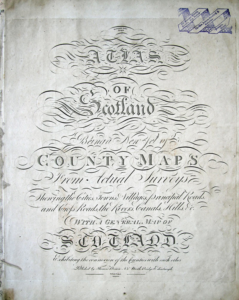
‘Flower of Scotland’ or ‘God save the Queen’ are the national anthems, but on occasions ‘Scotland the Brave’ or ‘Scots Wha Hae’ is sung. This map gives an excellent picture of 19th century Scotland.
Atlas of Scotland: Being a New Set of County Maps from Actual Surveys Showing the Cities, Towns & Villages, Principal Roads and Cross Roads, the Rivers, Canals, Hills, &c. Edinburgh: Thomas Brown, [1800].
-large.jpg)