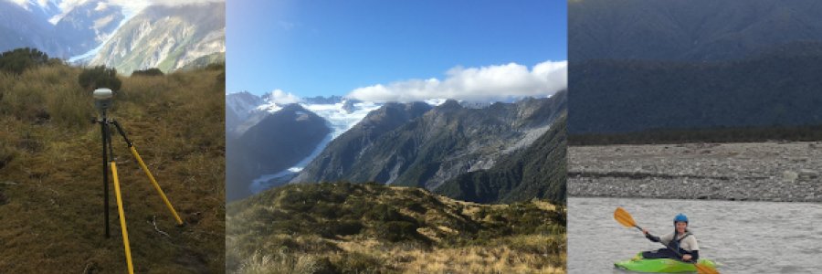
We took advantage of a couple good autumn weather windows and travelled to the West Coast to collect ground control and survey a portion of the Fox River floodplain.
On our first trip at the end of April, we climbed Mt Fox and collected two static gps points from the summit and a lower ridge. The...
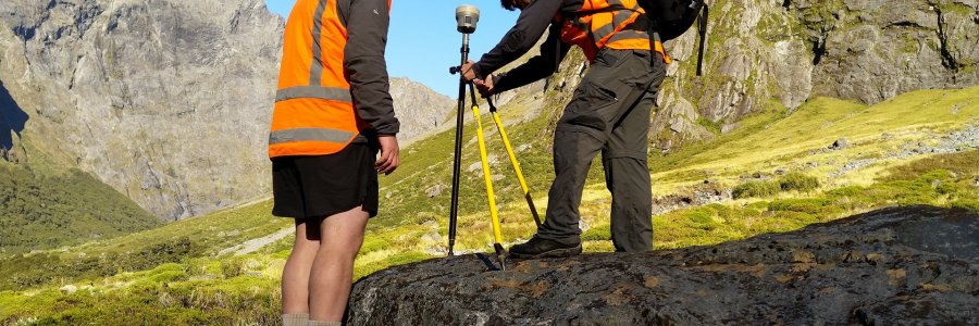
We spent several days this summer collecting ground control points (GCPs) used to process satellite imagery and build 3D elevation models. The GCPs will be used to create accuate, high resolution (2m) surface models for a large region of Fiordland, offering a new level of detail for the iconic terra...