
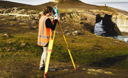
Surveyors and spatial scientists measure, model and analyse the world
Nau mai, haere mai ki Te Kura Kairūri
The National School of Surveying plays a key role in the sustainable development of built and natural environments. We produce highly-regarded graduates who develop professional careers in land, engineering and hydrographic surveying, land planning, urban development and geospatial sectors.

What is Surveying?
Surveyors and spatial scientists are experts in data about Earth's surface.

Study Surveying
Otago offers the only professional surveying programme in Aotearoa New Zealand.
Our
We conduct world-class research that turns spatial data into solutions.
Our people
We are a close-knit School with a supportive learning and research environment.
Explore what makes Science at Otago so special
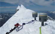
It's not just our people – the experts in their fields and passionate students – but also the places we teach and learn: Otago Harbour, Fiordland, Stewart Island, Antarctica and the Pacific that mean our students leave here with highly sought-after skills and experiences.
Latest News
View more news-
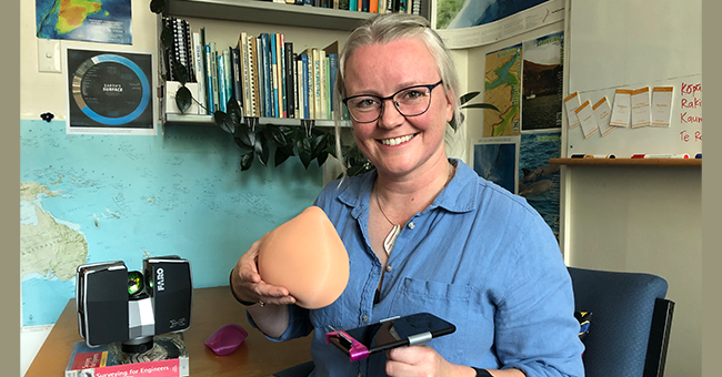
08 Feb 2024
“Check Your Boobs” says Surveying academic
In early 2022, Emily Tidey found a lump on her breast. Following a mastectomy an...
-
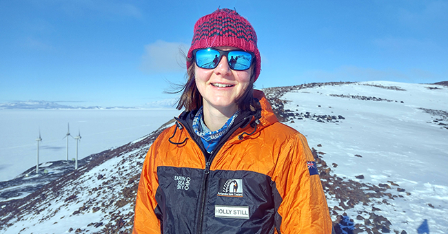
05 Jan 2024
24 hours of sunlight, plenty of time for science
During a research trip to Antarctica earlier this year, PhD candidate Holly Stil...
-

21 Nov 2023
National School of Surveying Te Kura Kairūri celebrates 60th anniversary
Delegates attending the 135th Survey and Spatial New Zealand (S+SNZ) conference...
-
17 Nov 2023
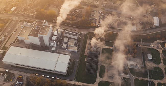
Corporations not disclosing full scope of emissions – study
Most corporations are not reporting the full scope of their carbon footprint wit...
-

22 Jun 2023
Landslides taking glacier research into uncharted territory
Satellite imaging is being used by an Otago Master’s student to measure how much...
-

19 Jun 2023
Bringing fresh perspectives on indigenous issues for Surveying tauira
Since joining the School of Surveying Te Kura Kairūri in 2019 as a lecturer in l...