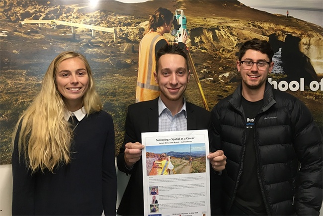
Our fantastic presenters (L-R): Lena Hayes, James Weir and Luke Johnson
Last Thursday the School of Surveying hosted a lunchtime talk by three recent graduates of the School of Surveying about the different journeys they each have taken from uni student to survey and spatial professional. Organised as part of Otago's Science and Technology Expo and Careers week (13-17 May), the presentation was advertised to students around the university who may have wondered: What do Surveyors actually do? What is Spatial and how can knowledge in this area turn into a career? Are you interested in GIS or measurement but not sure how to fit this in to your future plans?
The presentation was well attended and showed us the great diversity of opportunities available to students taking Surveying and GIS courses at Otago. Among the stories shared we heard about geodetic control establishment, rural surveying, helicopter flights, late-night-road surveys, roading and sewerage design, equipment and software development, laser scanning and aerial vehicle use, cadastral boundary definition, fantastic travel opportunities, GIS interface development, civil defence and policy mapping, field work, office work, hard work and some fun in between!
We heard from:
Lena Hayes, a Licenced Cadastral Surveyor who works for TL Surveyors in Dunedin. She joined the company at the beginning of this year after working in Christchurch for a large multi-disciplined firm. During her six years in post-earthquake Christchurch Lena worked across a range of challenging areas, predominantly involving land development engineering and cadastral projects.
Luke Johnson, who graduated from the School of Surveying in 2017. He then worked for Trimble – a multinational Surveying Tech company – as an application Specialist. During this time he worked on the development of field surveying software for a range of measurement and data acquisition sensors. He recently moved back to Dunedin and is currently working in private practice for Terramark, working on cadastral projects and land development design.
James Weir, a GIS Analyst at the Otago Regional Council (ORC). He provides mapping and data analysis support to a range of ORC teams and programmes including the creation of webmaps for use by ORC staff and the public. He finished his studies towards the Bachelor of Applied Science – BASc, Geographic Information Science and Cartography at the University of Otago in 2016.
The School of Surveying hosts seminars each week on Thursday, from 12:00 –12:50pm, and all are welcome to attend.
View our programme for the School of Surveying Seminar Series