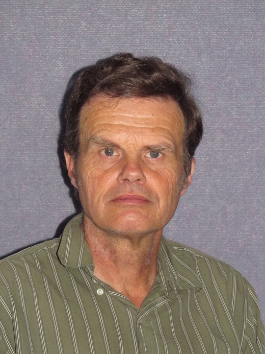
 BSc (Union College) MSc (University of Alaska) PhD (Otago)
Email chris.pearson@otago.ac.nz
Tel +64 3 479 5095
Surveying building, 1st floor, Room 124
Profile
I teach and conduct research in areas of Geodesy, Crustal deformation, GPS and least square adjustments. I completed my PhD from the University of Otago, New Zealand in the area of earth deformation measurements in 1991 and then spent a year working on a post-doc at Columbia University in the area of GPS processing (Bernese) working on the first major earth deformation campaign in the South Island. In 1994 Between 1994 and 2001 I worked at the University of Otago as a research fellow measuring active deformation of the Southern Alps. During this time I played a key role in the establishment and the New Zealand Tide Gages and the Southern Alps Vertical CGPS networks and nearly all of the campaign style geodetic projects in the South Island undertaken between 1993 and 2001. I was also instrumental in making the first INSAR study of a New Zealand Earthquake. Between 2001 and 2011 I worked at the National Geodetic Survey of the US where I was responsible for development of the HTDP software. Suring that time I played a key role in developing a comprehensive block model of deformation in the western US a new and much improved velocity for Alaska. In 2011 I returned to the School of Surveying where I currently lecture in Surv 302, Surv 451 and Surv 399.
Teaching
- SURV302 Geodetic Reference Systems and Network Analysis (contributor)
- SURV451 Surveying Methods 3 (contributor)
- SURV399 Third Year Field Course (contributor)
Research
Research Interests
- Geodetic reference systems
- Dynamic datums
- Earth Deformation
Current Projects
- Southern Alps Geodetic Experiment (SAGENZ). Using CGPS to measure the rate and distribution of uplift of the Southern Alps.
- Fiordland – Co-seismic and Post-seismic deformation. In August 2003, a Mw 7.2 earthquake caused horizontal displacements of up to 18cm in Fiordland, New Zealand.
- Strain and Velocity Fields. Using GPS to measure the velocity field throughout the South Island (New Zealand). Hence determine the strain variability particularly in the Southern Alps and Central Otago.
- HTDP Using block modelling of deformation in the western US to develop a velocity field. This is then used to correct positions and survey measurements for crustal deformation.
Publications
Snay, R. A., Freymueller, J. T., & Pearson, C. (2013). Crustal motion models developed for version 3.2 of the Horizontal Time-Dependent Positioning utility. Journal of Applied Geodesy, 7(3), 173-190. doi: 10.1515/jag-2013-0005 Journal - Research Article
Pearson, C. F., & Snay, R. A. (2014). Strain partitioning along the western margin of North America. Journal of Structural Geology, 64, 67-78. doi: 10.1016/j.jsg.2014.02.012 Journal - Research Article
Denys, P., Norris, R., Pearson, C., & Denham, M. (2014). A geodetic study of the Otago Fault System of the South Island of New Zealand. In C. Rizos & P. Willis (Eds.), Earth on the edge: Science for a sustainable planet. 139, (pp. 151-158). Berlin: Springer. doi: 10.1007/978-3-642-37222-3_19 Conference Contribution - Published proceedings: Full paper
Pearson, C. F., Snay, R. S., & McCaffrey, R. (2014). Towards an integrated model of the interseismic velocity field along the western margin of North America. In C. Rizos & P. Willis (Eds.), Earth on the edge: Science for a sustainable planet. (pp. 159-165). Berlin, Germany: Springer. doi: 10.1007/978-3-642-37222-3_20 Conference Contribution - Published proceedings: Full paper
Pearson, C., Freymueller, J., & Snay, R. (2013). Software to help surveying engineers deal with the coordinate changes due to crustal motion in Alaska. In J. E. Zufelt (Ed.), Proceedings of the 10th International Symposium on Cold Regions Development (ISCORD): Planning for Sustainable Cold Regions. [CD-ROM & Book], (pp. 297-307). Reston, VA: American Society of Civil Engineers. doi: 10.1061/9780784412978.031 Conference Contribution - Published proceedings: Full paper