
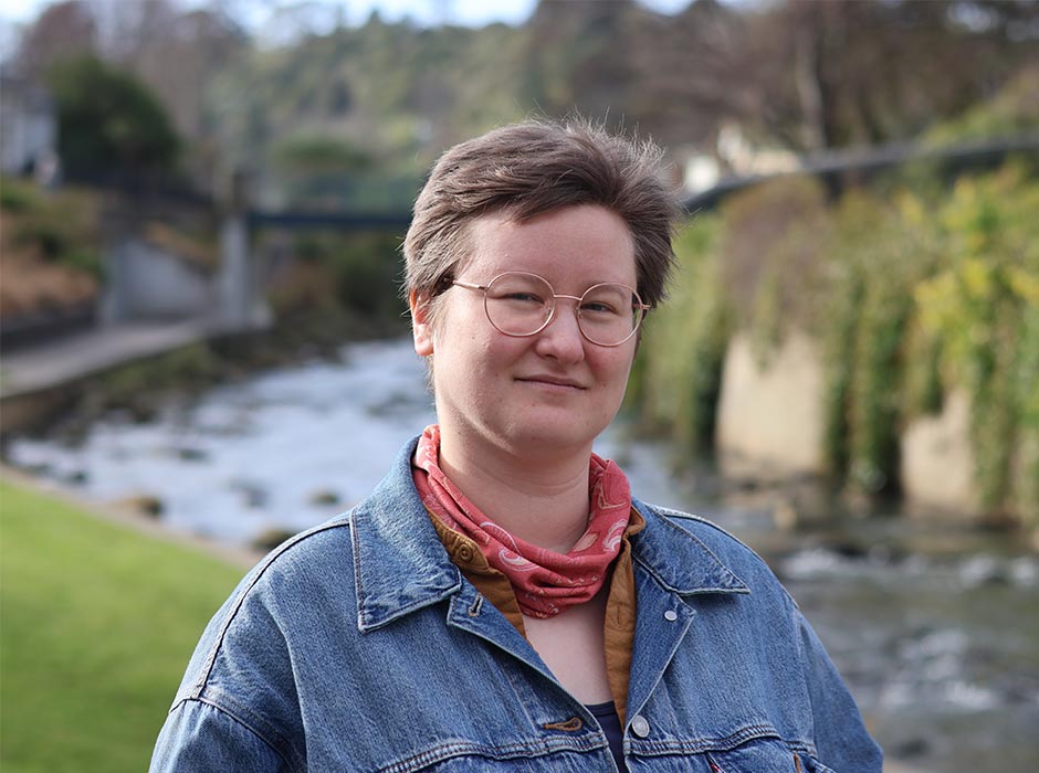
Surveying graduate and ship captain Edwin Brooks graduated with a Master’s degree in Geographic Information Systems last weekend.
“It’s a funny story,” begins Surveying graduate Edwin Brooks, as she explains how a sea voyage from Canada led to a Master’s degree at Otago.
“In 2020, right before Covid hit, me and two crew – my retired parents – bought a big sailing boat. She’s 37 feet long, and the most elegant thing in the water. She’s named Kiki.
“We left Canada and started sailing down the coast of the US. None of us had been blue water sailing before. I had a computer job at the time, so I was working from boat. We had a satellite dish, so we’d just pop it up whenever we’d anchor somewhere.
“We ended up in Hawaii where we ran into these New Zealanders. They said they were going home and asked if we wanted to come with them. So, over the next few months, we got all the way from Hawaii to Samoa to Tonga to New Zealand.
"It’s like a rule of thumb that you’re going to run into at least one major storm between Tonga and New Zealand, and we caught the end of one. It rolled us into the Bay of Islands. Our boat had never gone at nine knots before!"
Being caught in a storm was just one of several nerve-wracking moments for Edwin and her crew. Another was when they feared they would be mown down by a convergence of cargo ships.
“One time in the Pacific we ended up crossing a freighter intersection. There were five different freighters beelining to where our boat was going to be, and we were frantically radioing people to get them to recognise we were there," Edwin says.
The experience made her wish there was a way to accurately predict the movements of cargo ships.
"Freighters are very big, and if you’re in a small boat, if you run into one they wouldn’t notice. They’re a force of nature. You can tell when they’re nearby, because the dolphins and whales that usually follow along beside you will just disappear."
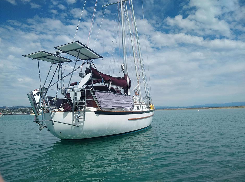
"Kiki", Captain Brooks' vessel.
Kiki made it safely into New Zealand, but getting out again wasn't as simple.
“There are two very strict weather windows to get in and out of New Zealand, and it was months before the weather window to get the boat out," Edwin says.
"I looked at the visas, and it said you could do a 15-month Master’s degree in Geographic Information Systems (GIS). I’d done a degree in Computer Science, I’d always wanted to do something geographic or spatially related, and the University of Otago has one of the best GIS programmes you can get."
GIS help predict the weather, but Edwin realised her research could be useful for something else: tracking cargo ships.
“I wanted to study freighter anchoring behaviour, because if a freighter is at anchor, it’s much easier to predict where they’re going to go. But it takes a lot of fuel and time for a freighter to pick up an anchor, so often they'll 'loiter' instead."
Edwin worked with Starboard Maritime Intelligence to gather the data for her research.
“Starboard enabled me a week’s access to their portal, which let me grab 681 freighter vessels that had a loitering event in the New Zealand economic exclusion zone in 2025. The portal is very nice, and I got to talk to the people in Starboard’s Wellington office to figure out the systems.
“I was able to filter down on who was loitering and who was anchoring with a chain, which is also important ecologically because the chain gets dragged around the boat when you’re anchoring, so it kind of acts like a plough. If you know where people are anchoring and how often, you can manage your anchoring zones.
“My findings could also be useful for finding bad actors, because you can find people anchoring where they shouldn’t. In Canada you’re not allowed to anchor in places that have sea grass. It’s a delicate environment that keeps the rest of the environment going, like fish and otters."
While Edwin's research should help make her future encounters with cargo ships less hair-raising, she hopes that by making her project code available, others will also benefit from her research.
“Most people in the world don’t have access to fancy, high-powered computing resources. If you go to Tonga, the main access to the internet has been severed by a volcano exploding. So, I did the entire project on my laptop with a free open-source language so other people can replicate what I’ve done," she says.
“It does help that I grew up in a family of nerds, so I had a long experience of computers before they got fancy.”
– Kōrero by Kathryn van Beek, Communications Advisor | Kaiarataki Pārokoroko
Geographic Information Systems
The process of linking features with geo-referenced coordinates creates spatial data, and these data are stored and managed in geographic information systems (GIS). GIS are fundamental to urban and regional planning, wildlife management, using business intelligence in commerce, tourism, public health, traffic management, and a host of other applications.
Study GIS